The Northern Tornadoes Project aims to gather information on all the tornadoes occurring in Canada every year.
Western University's Severe Storm Survey Team in collaboration with Environment and Climate Change Canada conduct damage surveys of recent wind storms. For damage surveying, various damage indicators are examined, these surveys include:
1. Satellite Imagery
2. Aerial Surveys
Aerial imagery is collected as individual GeoTIFFs which are then converted into mosaic datasets which can be explored and downloaded through the map shown on the right or through the Tornado Project ArcGIS for Server site.
3. Ground Surveys
Ground photos and associated metadata are managed through OMEKA, these products can be browsed through the Tornado Project Site.
4. Drone Surveys


"A Western-led project to discover and decode tornadoes in remote Northern Ontario has spun into a nationwide mission to identify every Canadian tornado in 2019." - Western News (2019)
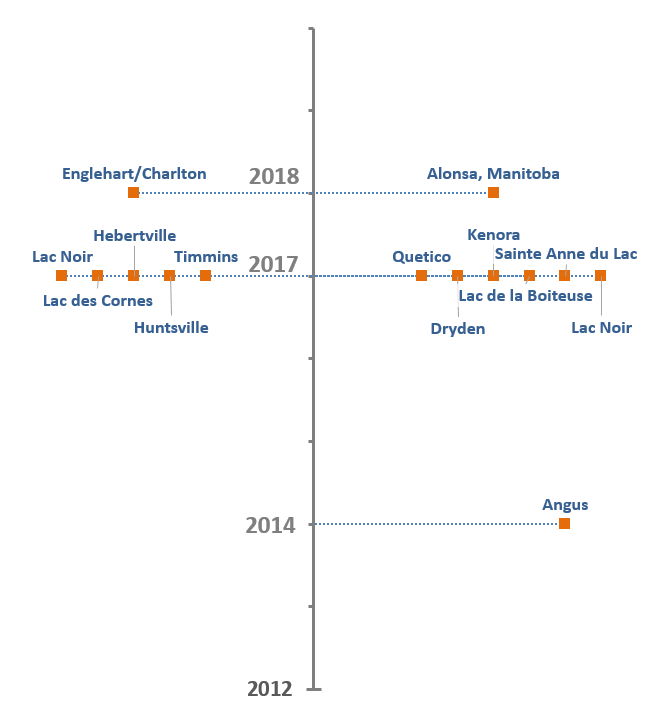
Approximately 14 thorough ground surveys were conducted between 2014 and 2018, summarized in the timeline below.